AERIAL VIEWS
Backwoods Blog;
in the woods and on the road…
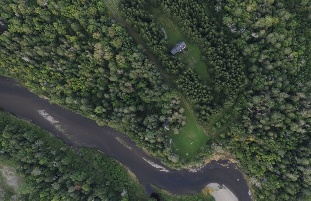
One day last week I took the drone for a “fly-around” on our property in the woods. It was a beautiful summer day and weather conditions were top rated according to my UAV (unmanned aerial vehicle) Forecast app; sunny with wind speeds of 2mph and wind gusts at 5mph. The DJI mini 3 is surprisingly stable in wind conditions for a small drone, but I still don’t push my luck. Of course, wind conditions can be quite different the higher you go compared to conditions on the ground. On the flight controller screen there is a gauge that monitors how wind turbulence is affecting the drone. It’s always a good idea to keep an eye on that and drop your altitude if it starts looking wobbly. But this is a perfect day. This is as calm as it ever gets in northern Maine, so let’s fly!
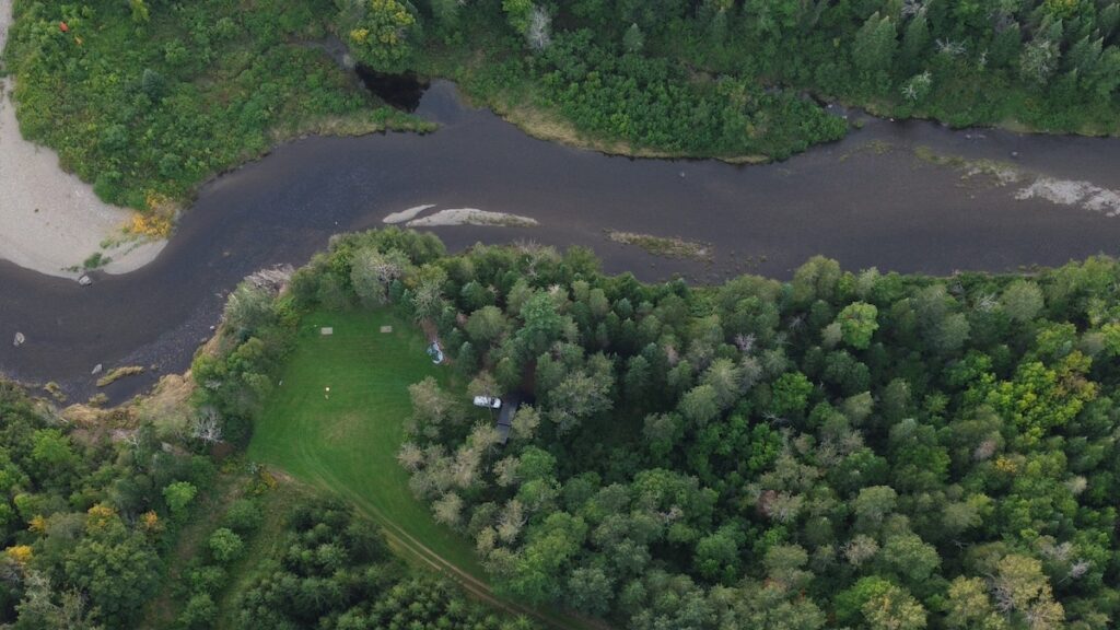
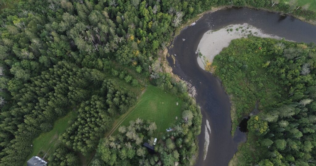
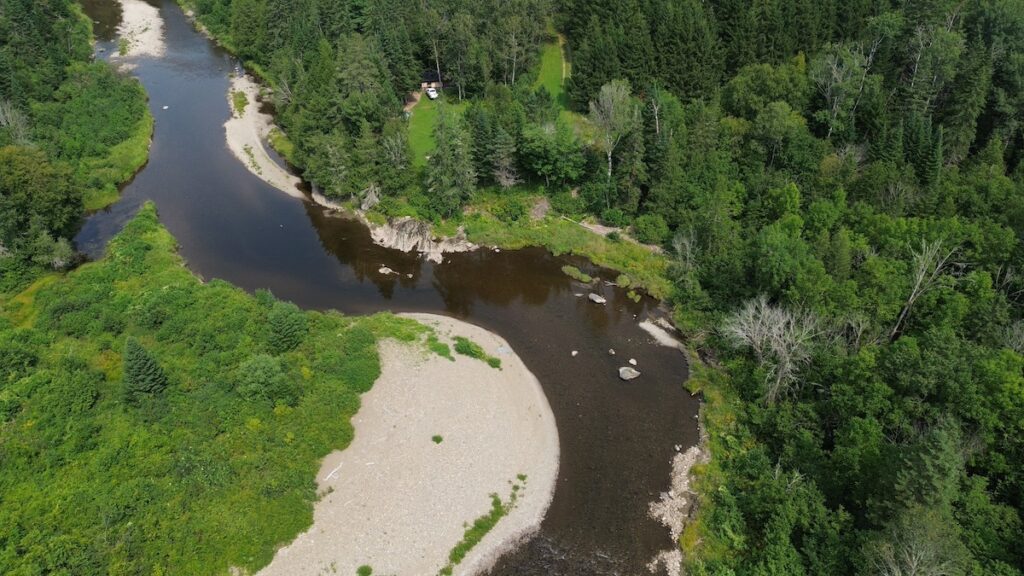
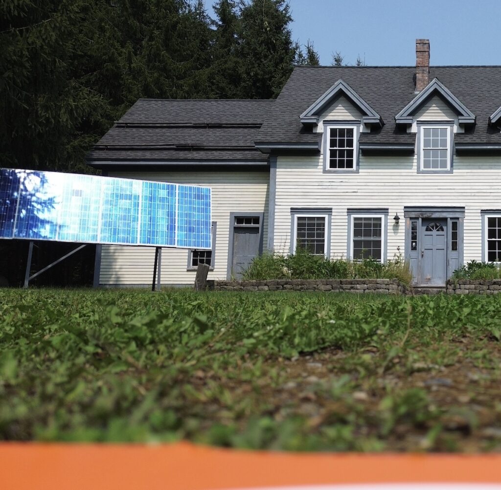
As I mentioned, I’m usually a cautious pilot and I watch my gauges closely, but on days like this you can relax a bit and push the parameters. I took these shots from 1,200 feet and my hands (and the drone) held steady. In the first photo, you can see our farmhouse in a small clearing in the middle of the tree farm and then a second clearing near the river front where the cabin and sauna are located (which you cannot see). In the second photo, my white truck is parked just to the left of the cabin. If you look closely, you can see the black metal roof surrounded by trees. The sauna is not visible at all. The horse shoe pits also show visibly from the air.
Years ago, I always wanted to rent a small airplane and have the pilot take me from Harvey’s Siding following the North Branch Meduxnekeag River all the way to downtown Monticello where the river crosses the border into New Brunswick. I wanted to see it from the air. Well, that never happened, but now with drone technology I feel like I have. It’s also cheaper and safer; I can fly as frequently as I want and if I crash, at least I’m not on board! Although I have lived on this property all my life, seeing it from the air has changed (or added to) my experience. The ground-level view is how I’m orientated when I’m walking from the cabin to the privy, but overhead is a whole new way of viewing the experience. From the drone sitting at 1,200 feet above the cabin I can simultaneously see the iron bridge trestle a half mile upstream and downtown Monticello a half mile downstream. This new overview has adjusted the way we see our little spot in the north woods. Sometimes you have to get above the trees to see over the trees.
In the woods,
Dave
August 20, 2024
